The night sky over the North Atlantic when the Titanic sank
RMS Titanic left Southampton on 10 April 1912, on her first voyage, bound for New York by way of Cherbourg and Queenstown, now Cobh. Late on 14 April, she struck an iceberg south of Newfoundland.
The ship sank at about 2:20am ship's time on 15 April. About 1,500 people died. The liner Carpathia arrived before dawn and took about 700 survivors on board.
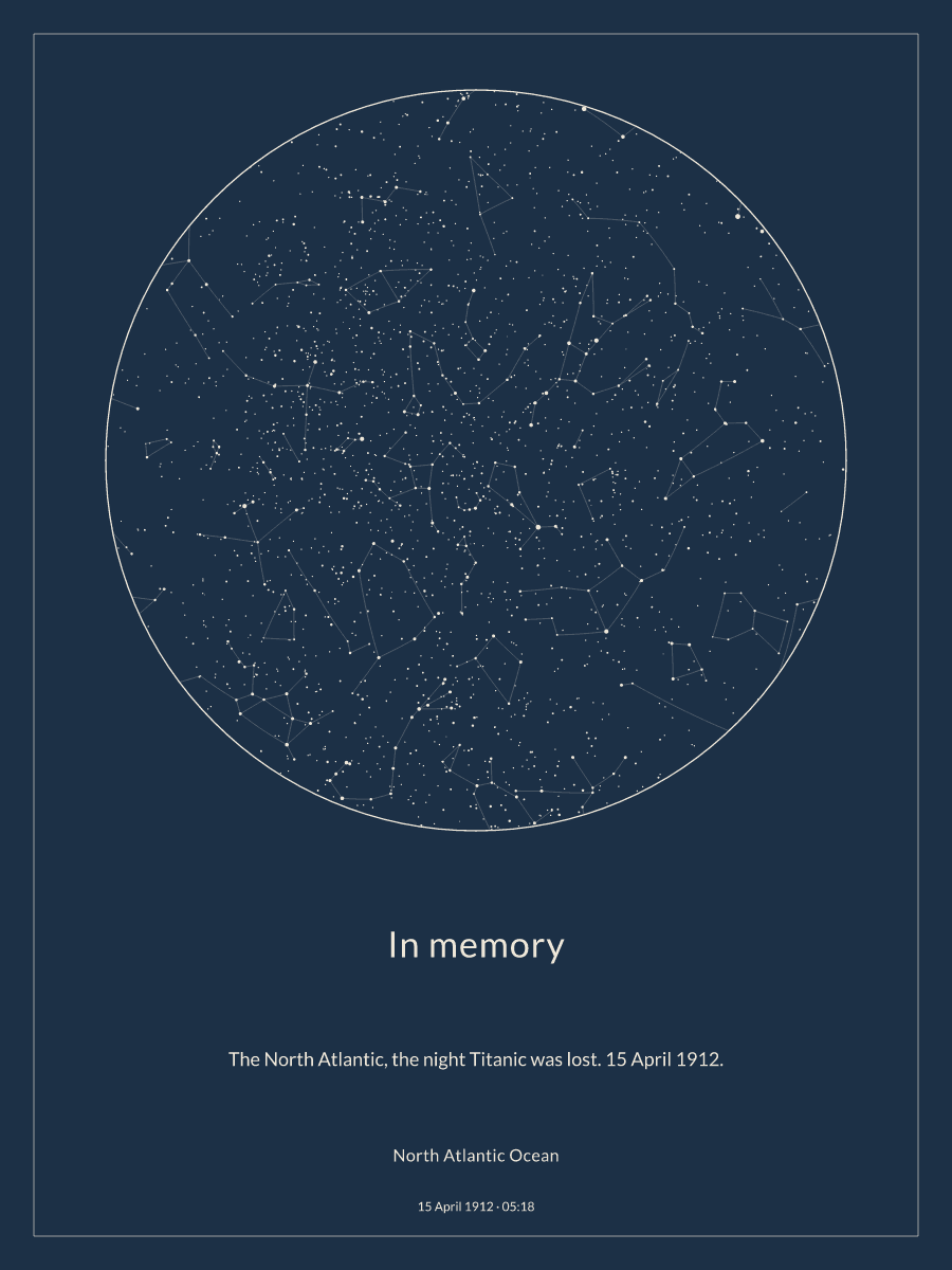
The sky above North Atlantic Ocean on 15 April 1912
The sky was fully dark. There was a waning crescent Moon, 6% lit, but it was below the horizon. Jupiter was above the horizon and could be seen without a telescope.
- Local time
- 5:18 am
- Time in UTC
- 15 April 1912 at 5:18 am UTC
- Sun
- Night
- Sun position
- 32° below the horizon
- Moon phase
- waning crescent Moon
- Moon lit
- 6%
- Moon position
- 29° below the horizon
| Planet | Visible | Direction | Altitude |
|---|---|---|---|
| Mercury | No | north-east | -30° |
| Venus | No | north-east | -29° |
| Mars | No | north-west | -12° |
| Jupiter | Yes | south | 24° |
| Saturn | No | north | -32° |
| Uranus | No | south-east | -1° |
| Neptune | No | north-west | -5° |
| Star | Constellation | Direction | Altitude |
|---|---|---|---|
| Arcturus | Boötes | south-west | 62° |
| Vega | Lyra | east | 55° |
| Altair | Aquila | east | 25° |
| Spica | Virgo | south-west | 30° |
| Antares | Scorpius | south | 21° |
| Deneb | Cygnus | north-east | 36° |
| Regulus | Leo | west | 14° |
| Alioth | Ursa Major | north-west | 61° |
| Dubhe | Ursa Major | north-west | 46° |
| Alkaid | Ursa Major | north-west | 70° |
35 constellations are above the horizon. Highest in the sky: Corona Borealis, Boötes, Hercules, Draco, Canes Venatici, Serpens, Coma Berenices, Lyra, Ursa Minor, Ursa Major, Ophiuchus and Virgo.
What happened that night
The ship struck the iceberg at about 11:40pm. Water entered several forward compartments, more than the ship was built to survive.
Over the next two hours, the crew got the lifeboats ready and launched them, but there was not room for everyone on board. Wireless operators sent distress calls until shortly before the end.
Why people remember it
The loss of Titanic changed safety at sea. New rules required enough lifeboat places for everyone on board and a radio watch at all hours.
The wreck was found in 1985, about 3,800 metres (12,500 feet) below the surface. A star map of this night can be a quiet memorial for a family with a link to the ship, or for a history lover.
Questions about this night
It shows 05:18 Greenwich Mean Time on 15 April 1912, at the position of the wreck. That was 2:20am by the ship's clocks, which were set 2 hours 58 minutes behind Greenwich. Ship's time has no time zone of its own, so the map uses Greenwich time.
In the North Atlantic, about 370 miles (600 km) south-south-east of Newfoundland. The map uses the position of the wreck, about 41.73° N, 49.95° W.
About 700 people survived, out of about 2,200 on board.